Lorne Victoria Australia
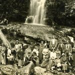
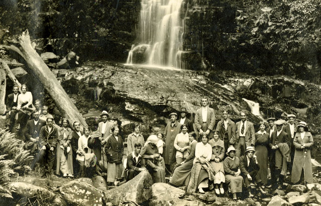
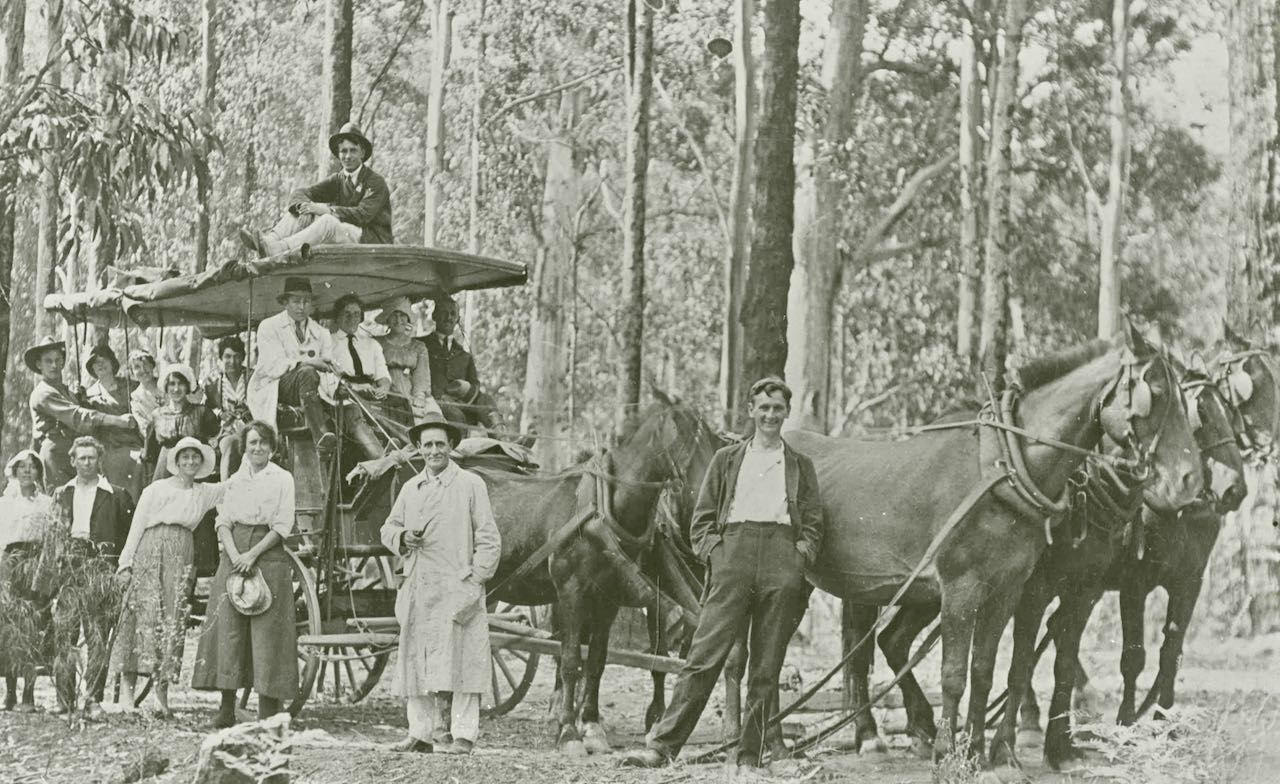
Historically walks to waterfalls around Lorne was a popular tourist outing for many of Lorne’s early visitors, particularly catered for by the early guesthouses. The purpose of this page is to share some of Lorne Historical Society’s photos showing our visitors enjoying a waterfall or tourist attraction.
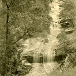
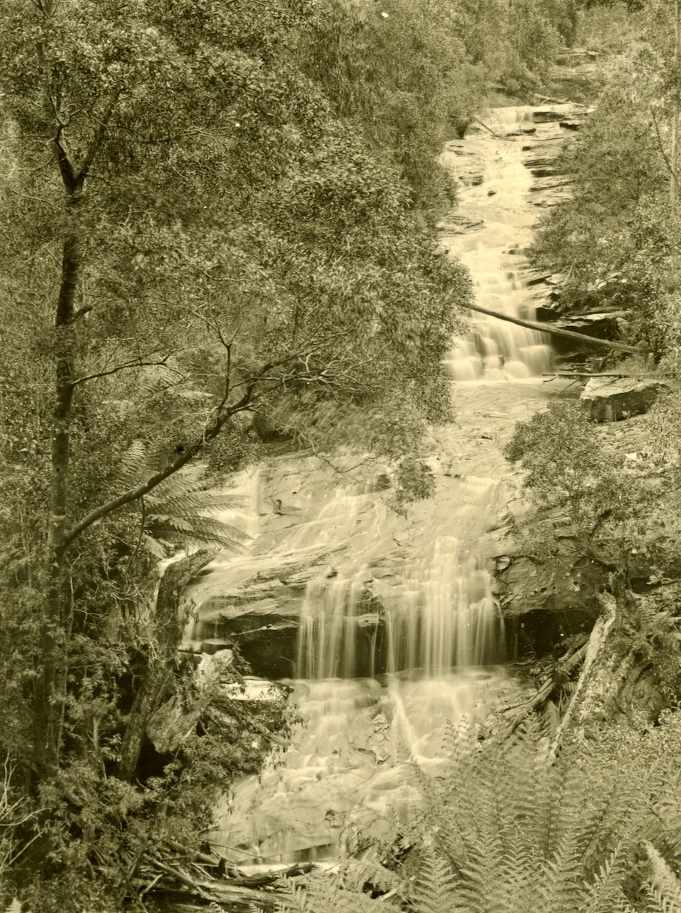
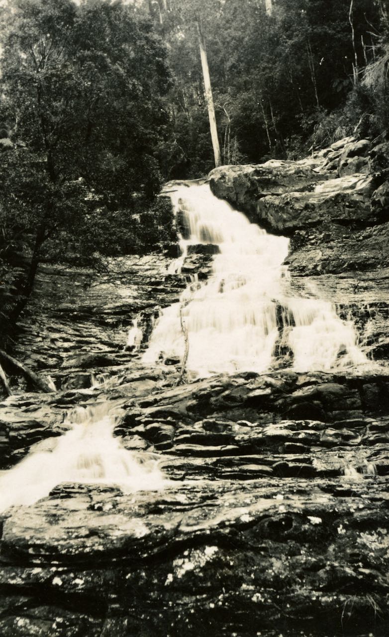
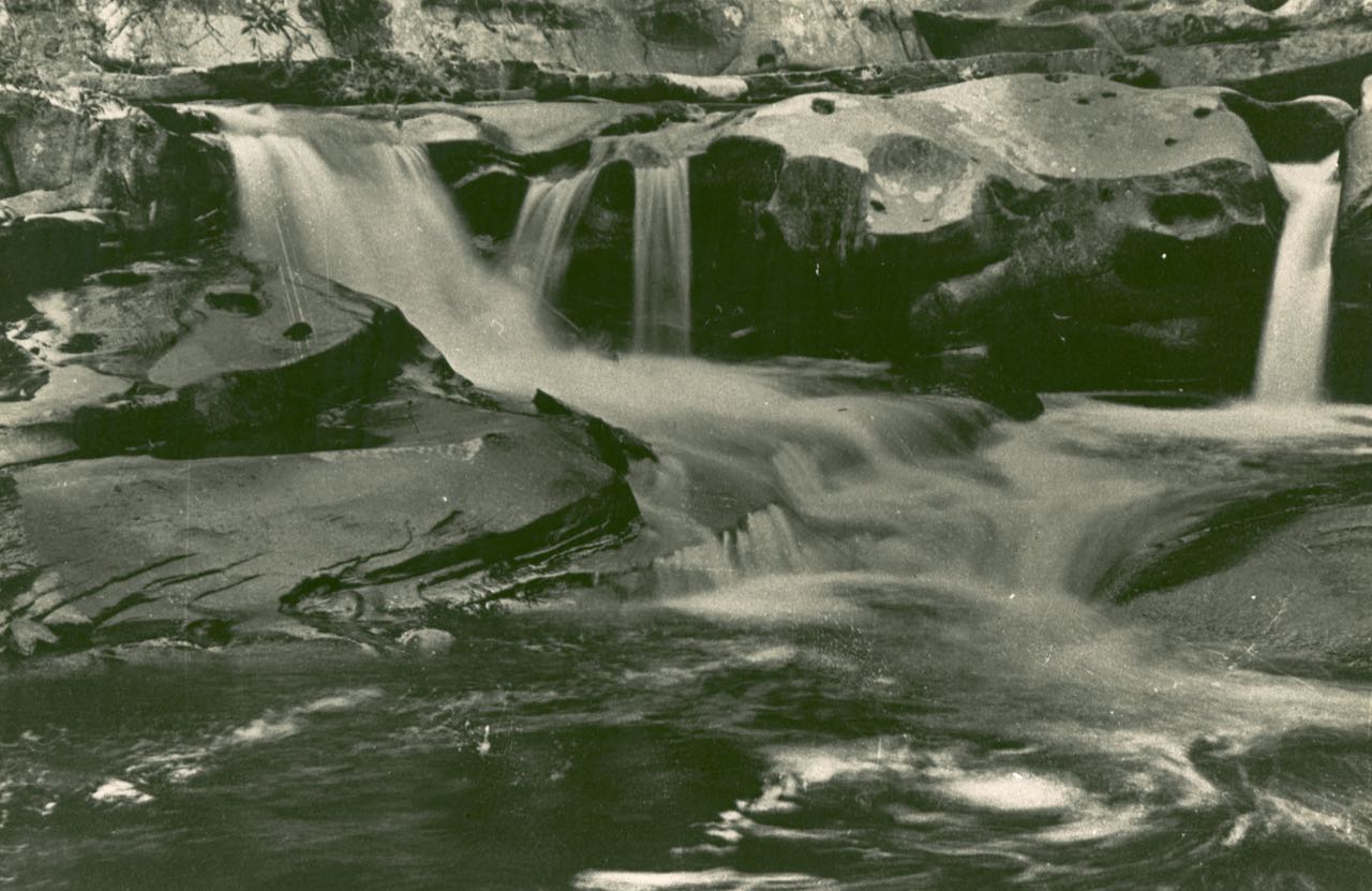
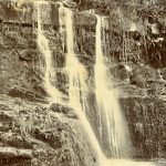
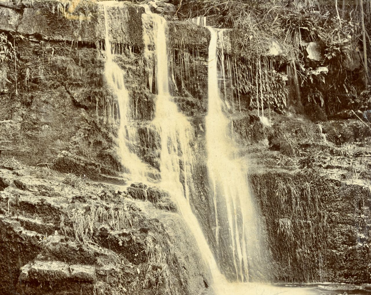
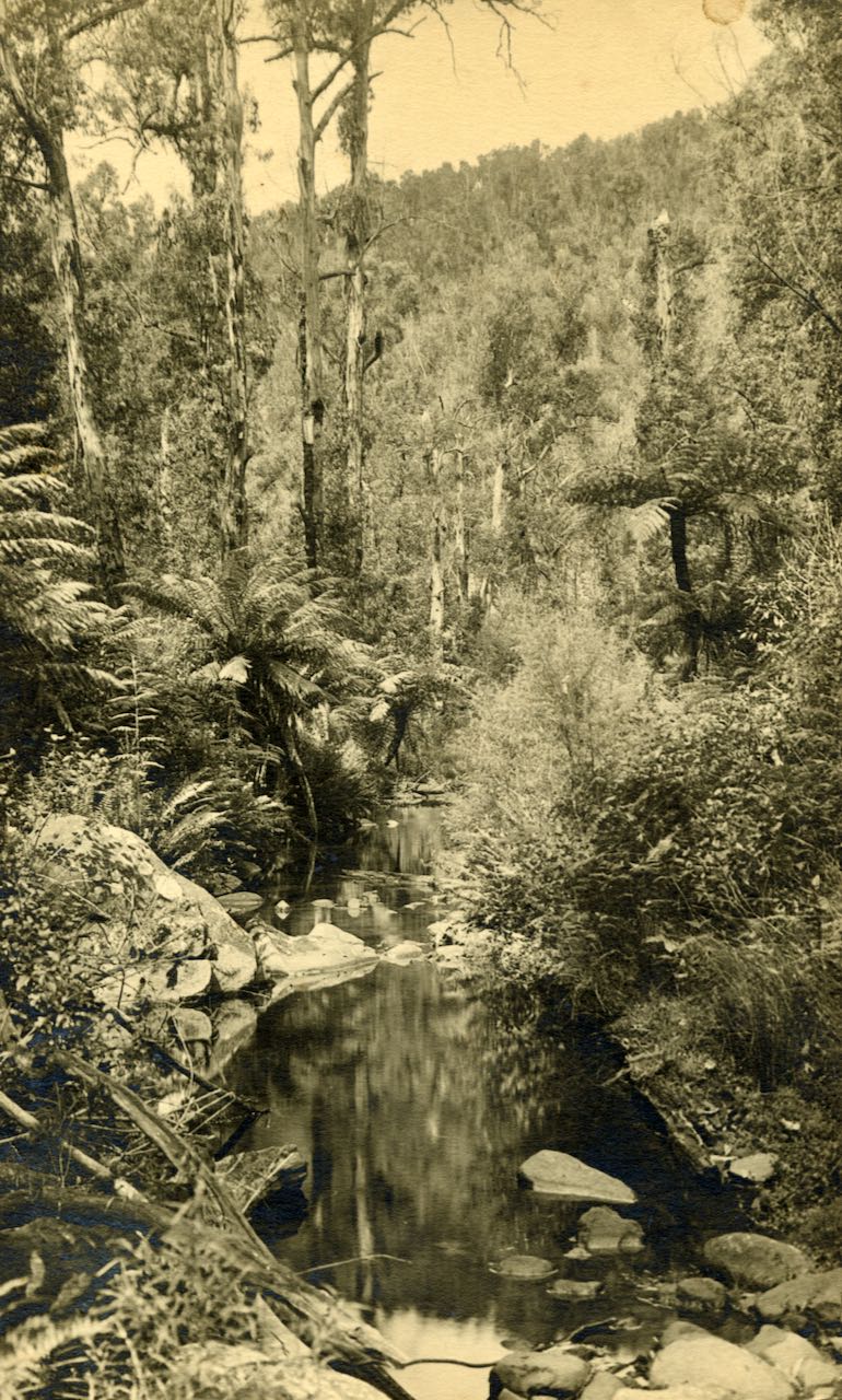
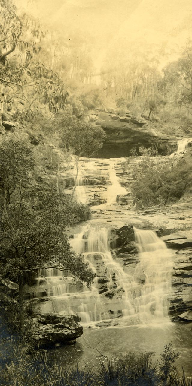
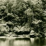
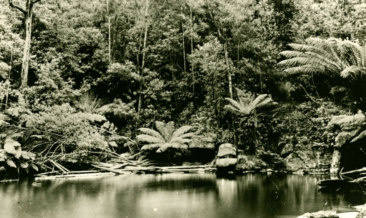
Cora Lynn Creek
Cora Lynn Creek is a tributary of the St George River and features the Cora Lynn Cascades which can be accessed from the Blanket Leaf Carpark on the road to Erskine Falls.
-
- Top Cora Lynn Falls. (LHS photo B686)
-
- Cora Lynn Falls (LHS photon B554)
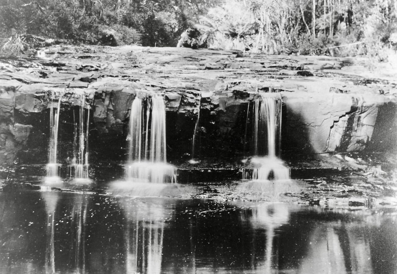
Cumberland River Valley
In July 1879, Will Mountjoy from Lorne, Harry Jebb from Creswick and Fred Straw from Brunswick, set out to see if there were any waterfalls on the Cumberland River. They followed the ridge on the right hand side looking upstream and, after some time, went down to the water. However, they had gone down into Garvey’s creek, a tributary of the Cumberland. This they followed to its source but found no waterfalls worthy of the name. When they got on the main ridge, the backbone of the ranges, a thick fog came up and they got bushed, going southerly, towards Mount Sabine, instead of northerly. When the sun came out next morning they found out their mistake. They went down into a gully and followed the stream towards the sea for the best part of a day. It gradually grew larger as they went on, and they passed three large waterfalls and four smaller ones. Of the three large falls, they named the top one the Mountjoy, the second the Creswick and the third the Brunswick. Some distance below the Brunswick Falls, they climbed onto the ridge, and then saw that they had been following the Cumberland River.
Bridal Vale Falls Cumberland River.
Cumberland Falls, Cumberland River
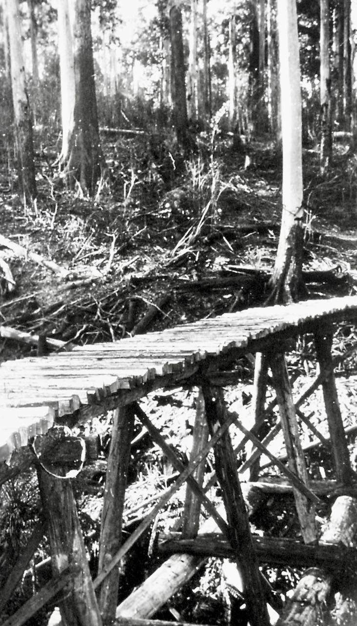
Timber tram trcks near Cumberland Falls. (LHS photo 4013)
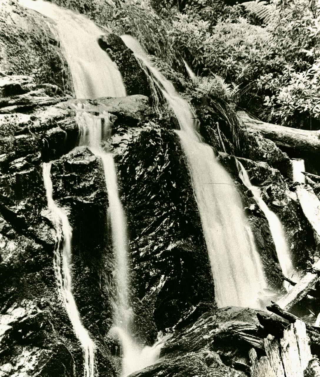
Brunswick Falls, Cumberland River
Brunswick Falls on the Cumberland River. (LHS photo B569)
Jebb’s Pool, Cumberland River
A lovely spot and named after a Mr Harry Jebb. It was reported that his enthusiasm got the better of his legs, he slipped, and was washed down the slanting, slimy, flat incline of the river, and was landed, in a dark deep pool, and was rescued by his own efforts and the timely aid of one of his friends.
Jebbs Pool on Cumberland River. (LHS photo 2069)

Jebbs Pool, Cumberland River, from the book ‘Waterfalls of the OTWAY RANGES’ by Anthony Car.
Erskine River Valley
James Augustus Erskine (1812 – 1885) was at the centre of Melbourne’s administration in the 1840s when the Erskine river got its name. Lieutenant Erskine as a ship’s officer was involved in coastal survey work. In the 1870’s little was known of the deep gullies through which the mountain streams flowed, except a report by some timber workers called the splitters. They claimed to have found a waterfall, later named as Splitters’ Falls, while lost in the forest, by which means they eventually found their way to the sea and the Mountjoy’s hospitable home.
Wanliss Falls, Erskine River
Wanliss Falls is upstream from Erskine Falls and was discovered and named after Lieutenant zHarold Boyd Wanliss who took top land nearby.
1920s Wanliss Falls. (LHS photo 2074)
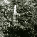
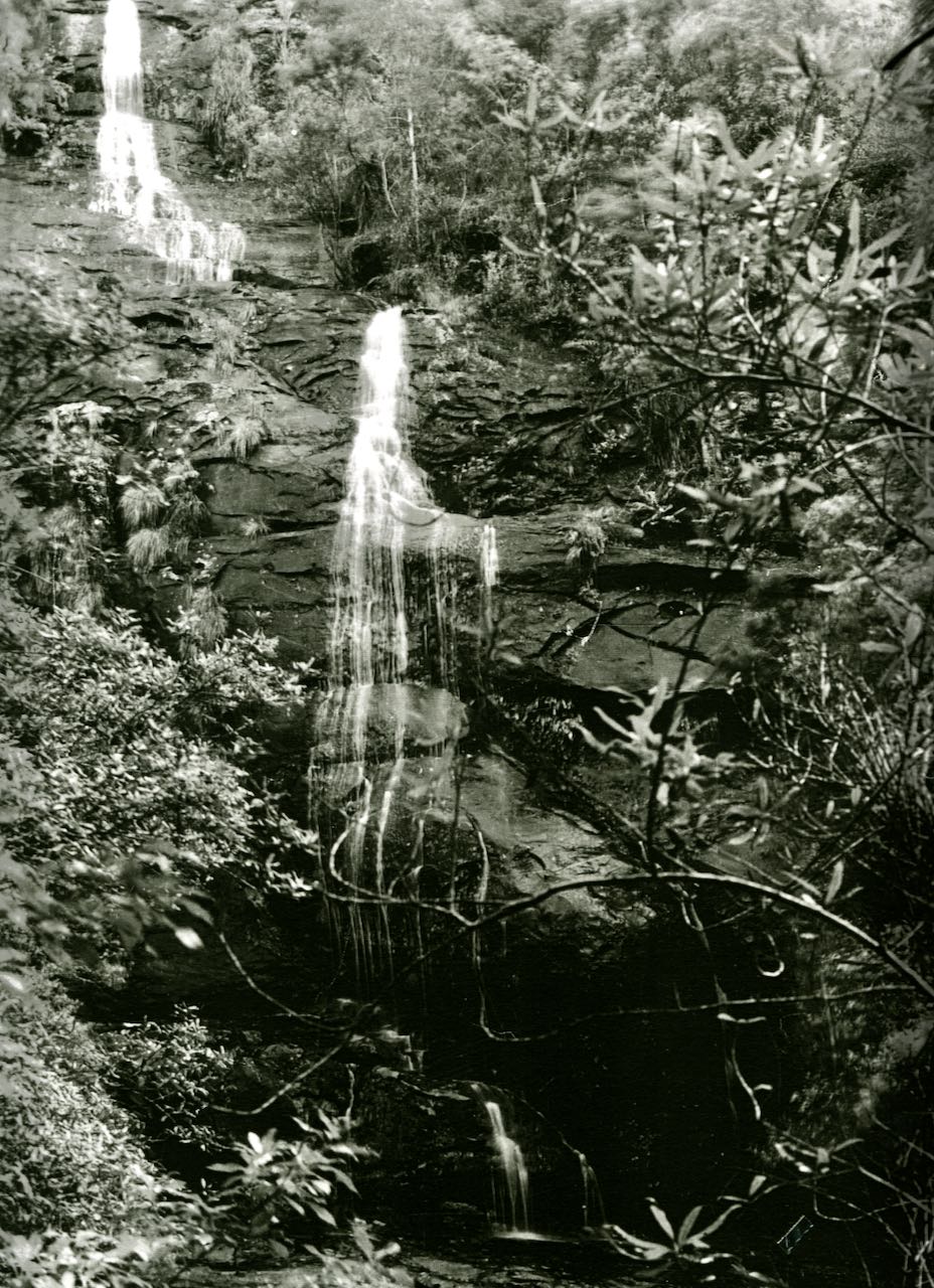
Kyles Falls, Little Erskine River, tributary of Erskine river
c1915 Kyles Falls Little Erskine River. (LHS photo 2073)
Splitters Falls, stream feeding into the Erskine river
-
- Splitters Falls (LHS photo B550)
-
- Splitters Falls THE ROSE SERIES, P. 775 (LHS photo B077)
After this incident, Fred Straw, Will Mountjoy and his brother decided to explore the Erskine Valley. This was wild country with thick vegetation extending to the banks of the river, which was often in flood. But these lads were well-prepared, and after a long and difficult experience, they eventually came upon another waterfall from a tributary entering on the east side. The party decided to name this fall the “Straw Falls” after Fred Straw.
Straw Falls, tributary of Erskine river
-

- Straw Falls (LHS photo B553)

-
- Straw Falls. (LHS photo 9L)
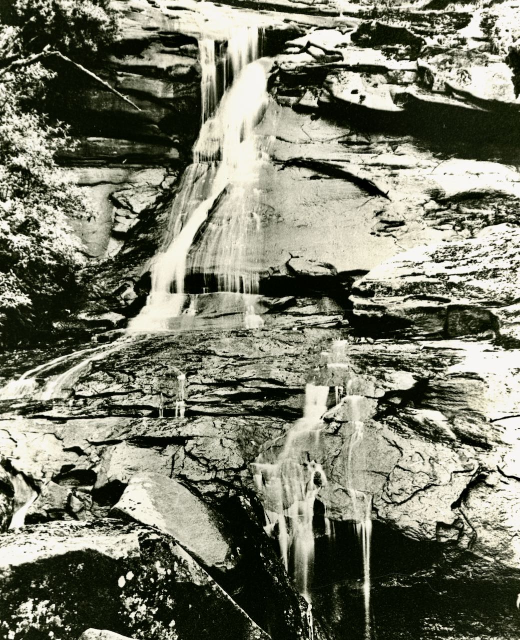
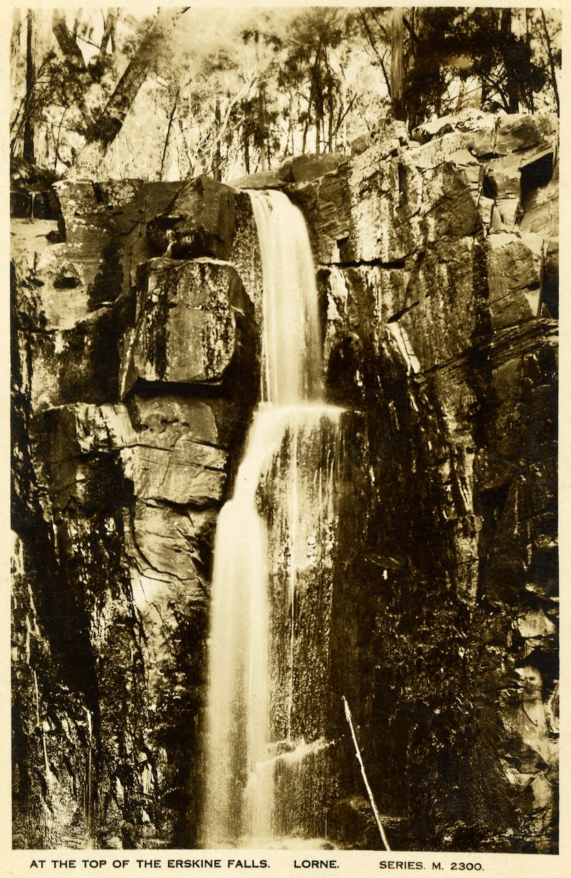
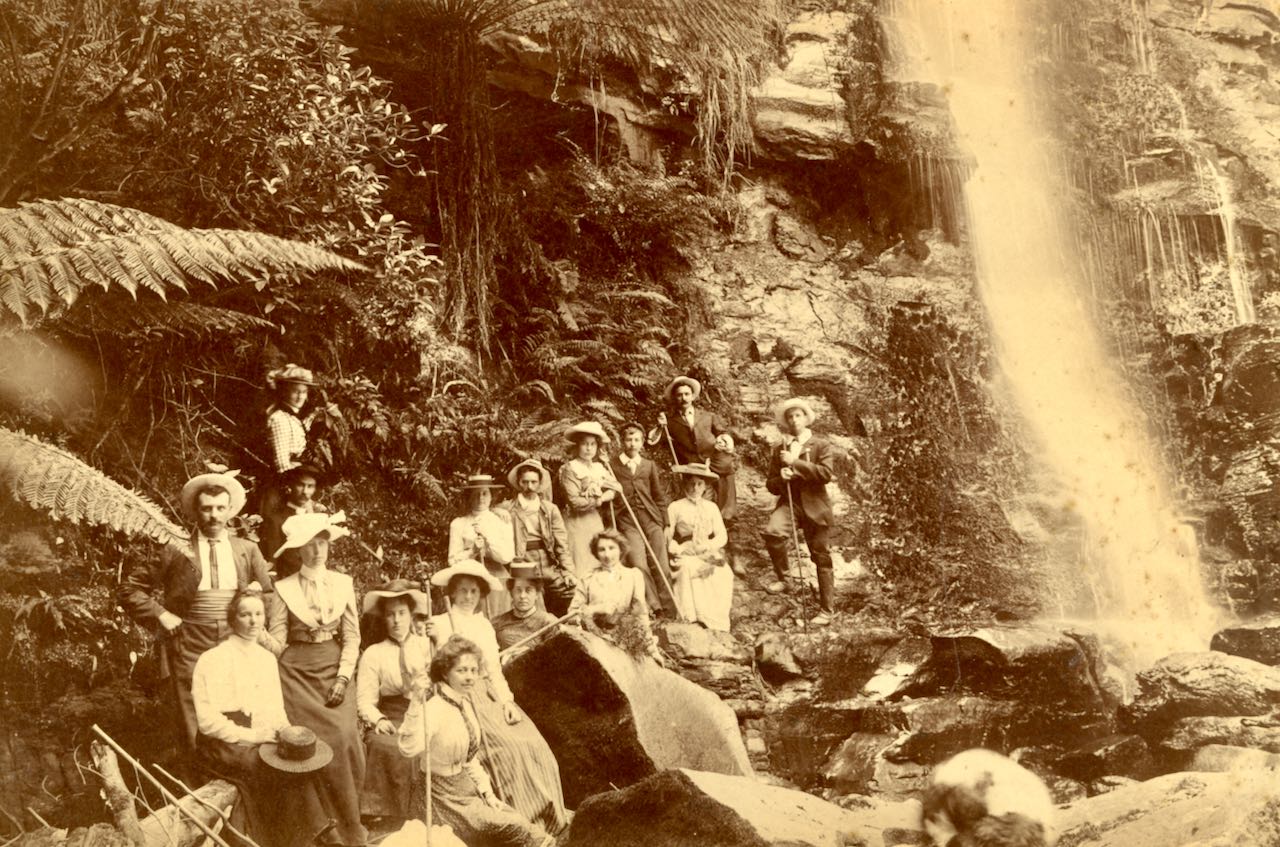
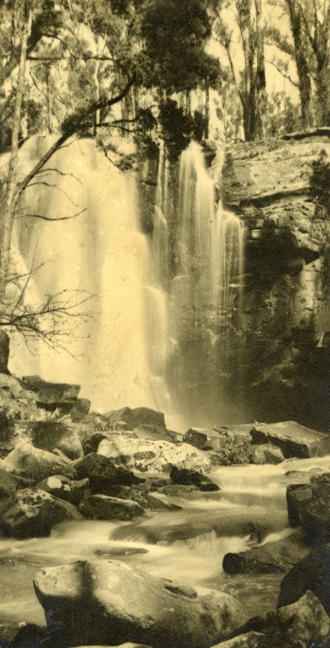
A little further on, Fred was surprised to see, through the top of the trees, a cascade of water, which appeared to be a fall on the main stream. He excitedly called the others. There they beheld a scene of entrancing beauty, which was appropriately christened the “Erskine Falls”.
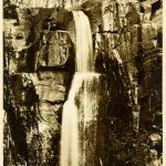
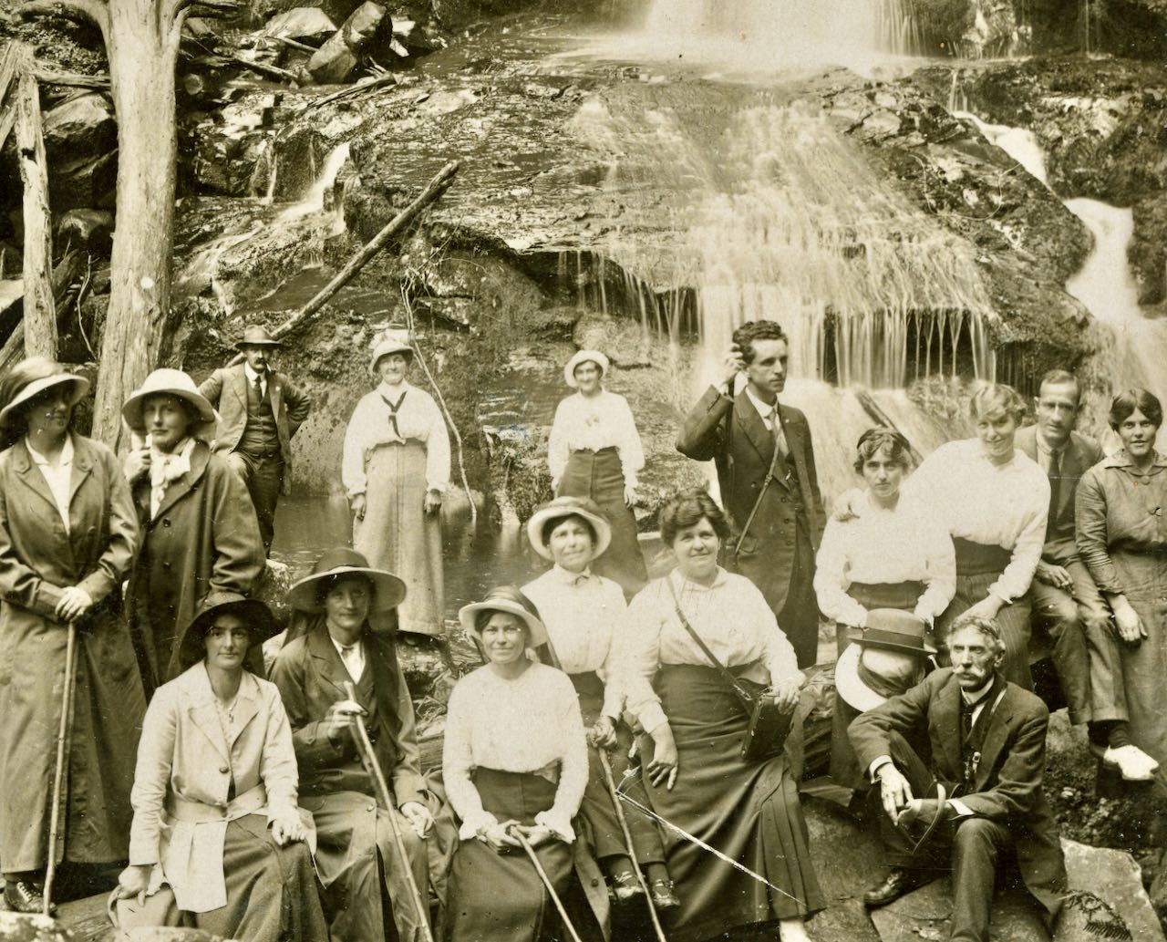
Erskine Falls, Erskine River

THE ROSE SERIES, P. 774, Erskine Falls.(LHS photo B070)
-
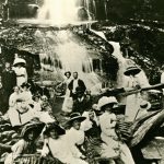
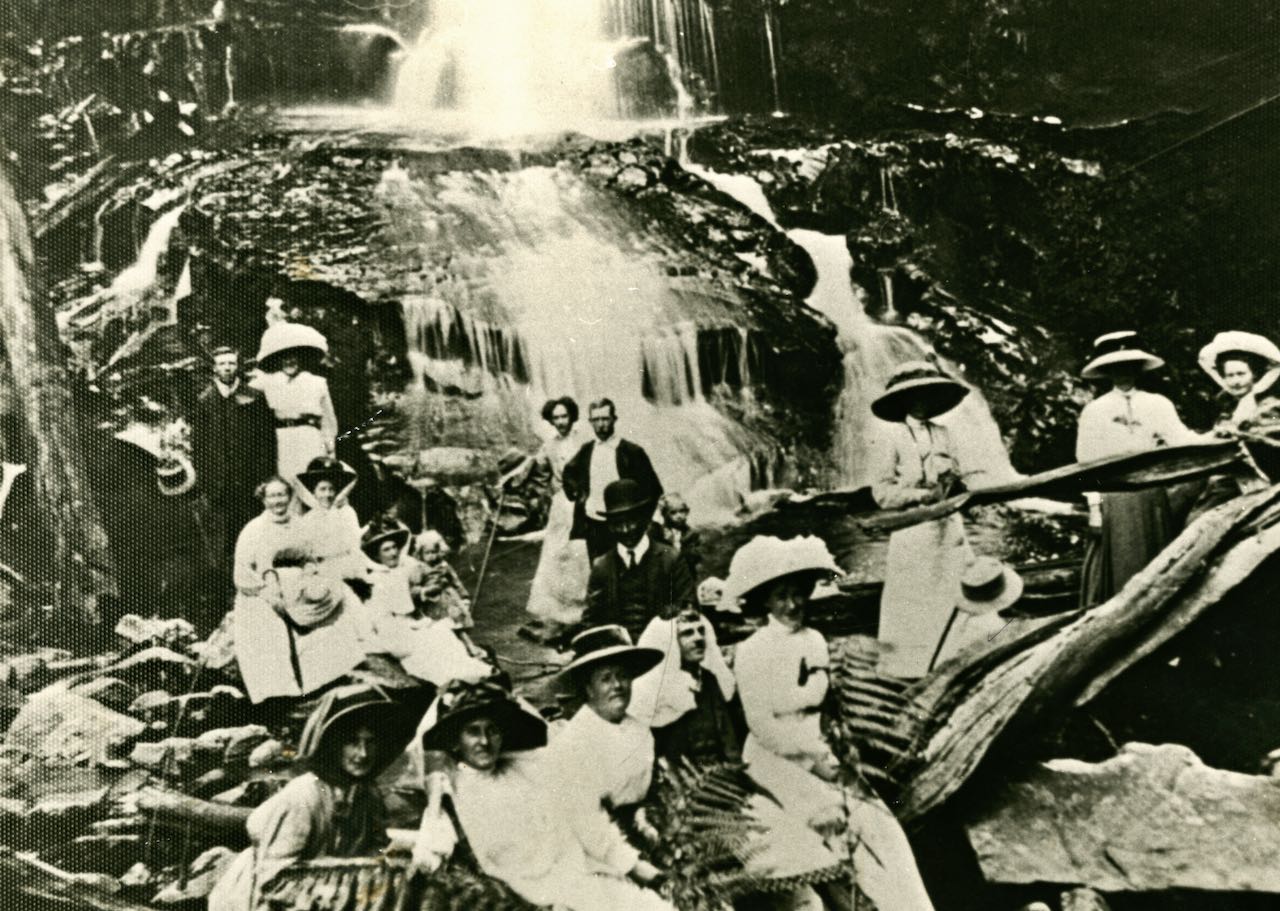
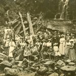
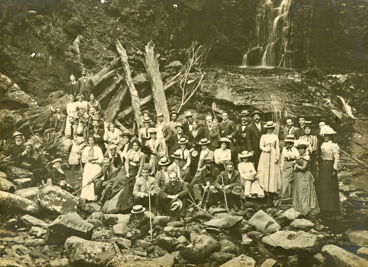
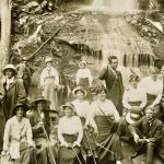
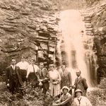
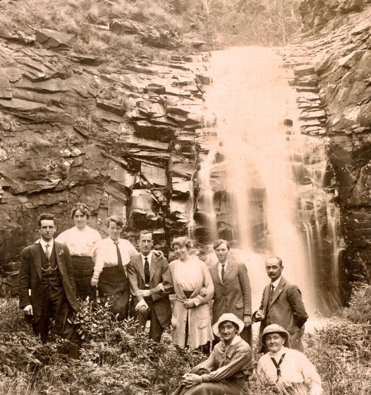
- 1890’s Picnic at Erskine Falls. (LHS photo 696)
-
- 1901, Easter at Erskine Falls. (LHS photo B662)
-
- 1913, Carinya guests at Erskine Falls 1913. (LHS photo B694)
-
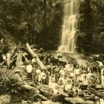
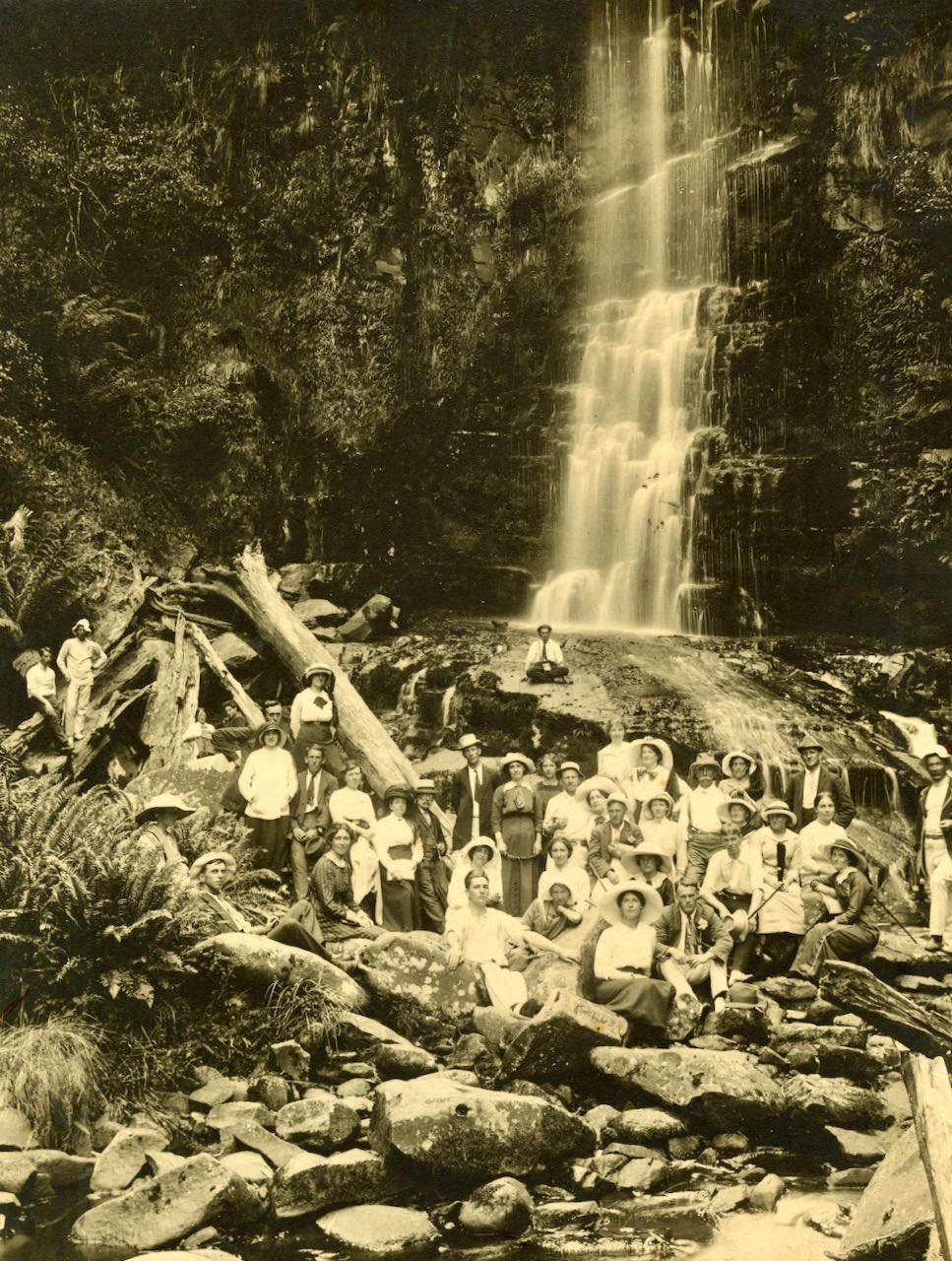
- 1914, Erskine Falls hiking party. (LHS photo B534)
-

- 1916, Travelling to Erskine Falls, driver Frank Clissold, Alf Onley in long coat (LHS photo 9497)
-
- Top of Erskine Falls Valentine Series. LHS photo B079)
Jebbs Pool, on the Erskine River?
Jebbs Pool in well known on the Cumberland River. There is reported to be a Jebbs Pool on the Erskine River, as suggested by the photo taken by Nicholas Caire in 1876, predating the naming of Jebbs Pool on the Cumberland River.

Fergusson & Mitchell (1890). Jebb’s Pool, Erskine River. Fergusson & Mitchell Lith, Melbourne from original photo taken by Nicholas Caire (1876). Sourced from State Library Victoria.
Grassy Creek
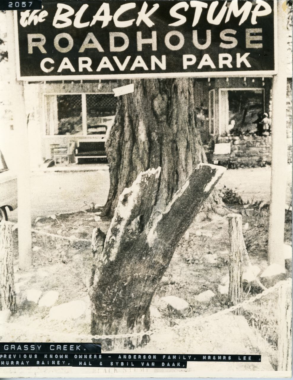
Grassy Creek is located North of Lorne on the Great Ocean Road between Lorne and Aireys Inlet. A Guesthouse at Grassy Creek operated prior to the Second World War. The area was converted to a caravan park later, but following a bushfire in the 1960s, the property was sold. Peterkin’s erected the large brick home. In the early 1960’s a couple conducted a business at The Black Stump Roadhouse. At weekends they ran a cabaret-type show with the wife, Sybel Van Doak, specialising in belly-dancing was considered quite something at the time. The Catholic Church (St.Augustine’s Boys Home, Highton) purchased the section upstream of the bridge and established the Santa Monica camp. This was destroyed along with the Black Stump building on Ash Wednesday in 1983.
-
- 1962, The Blackstump Roadhouse. (LHS photo 2057)
-
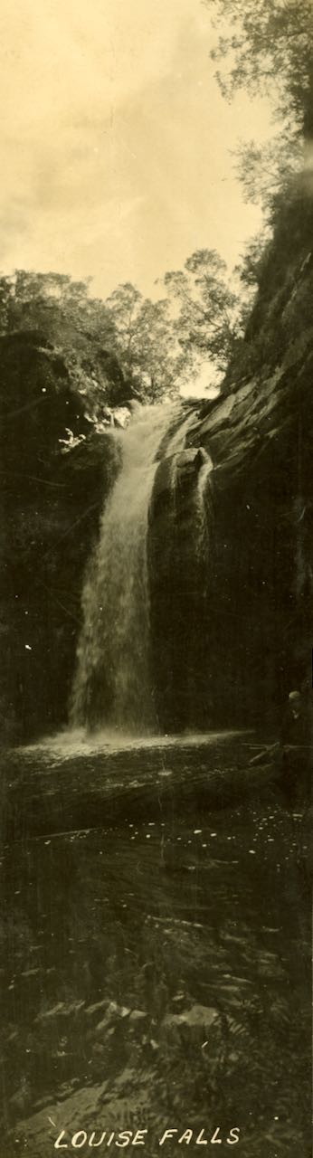
- Louise Falls. (LHS photo B552)
-

- Louise Falls at Grassy Creek. (LHS photo B353)
Henderson Creek
The creek is believed to be named after one of the early pioneers of the Otway Ranges, Mr James Henderson (1853 – 1925). The creek is a tributary of the St George River. Henderson Falls can be accessed from Allenvale Road, passing Won Wonder Falls, before reaching Henderson Falls.
1923, Henderson Falls. (LHS photo 7118)
Kalimna Creek
Take the Allenvale Road to the Sheoak Picnic Area then a walking track to the Kalimna Creek and so reach the Lower Kalimna Falls. Further on you will reach the Upper Kalimna Falls. Kalimna is an Aboriginal word meaning beautiful.

c1925, Lower Kalmina Falls, photographer: William Leslie 📷State Library of Victoria https://handle.slv.vic.gov.au/10381/462708
Jan 1902, Kalimna Falls. (LHS photo B661)
Upper Kalimna Falls. (LHS photo B708)
Sheok Creek
The Casuarina trees that line the creek are also know as Sheoaks, giving the creek its name. The walk along the creek has been a popular tourist attraction from as early as 1875. A walk up the creek reveals the Sheoak Falls, then the Swallow Cave.
-
- 1916, Sheok Falls. (LHS photo B481)
-
- 1916, Sheoak Falls.(LHS photo B482)
-
- Lower Sheoak Falls (LHS photo B636)
St George River Valley
There is a walk up the St George River from the carpark on the Great Ocean Road, a little way past the pier. Walking inland you can see the Mirror Pool before reaching Allenvale, then another mile up the river to the Phantom Falls and the rapids, a little further on the Margaret Falls, then a little further on the Melba Falls.
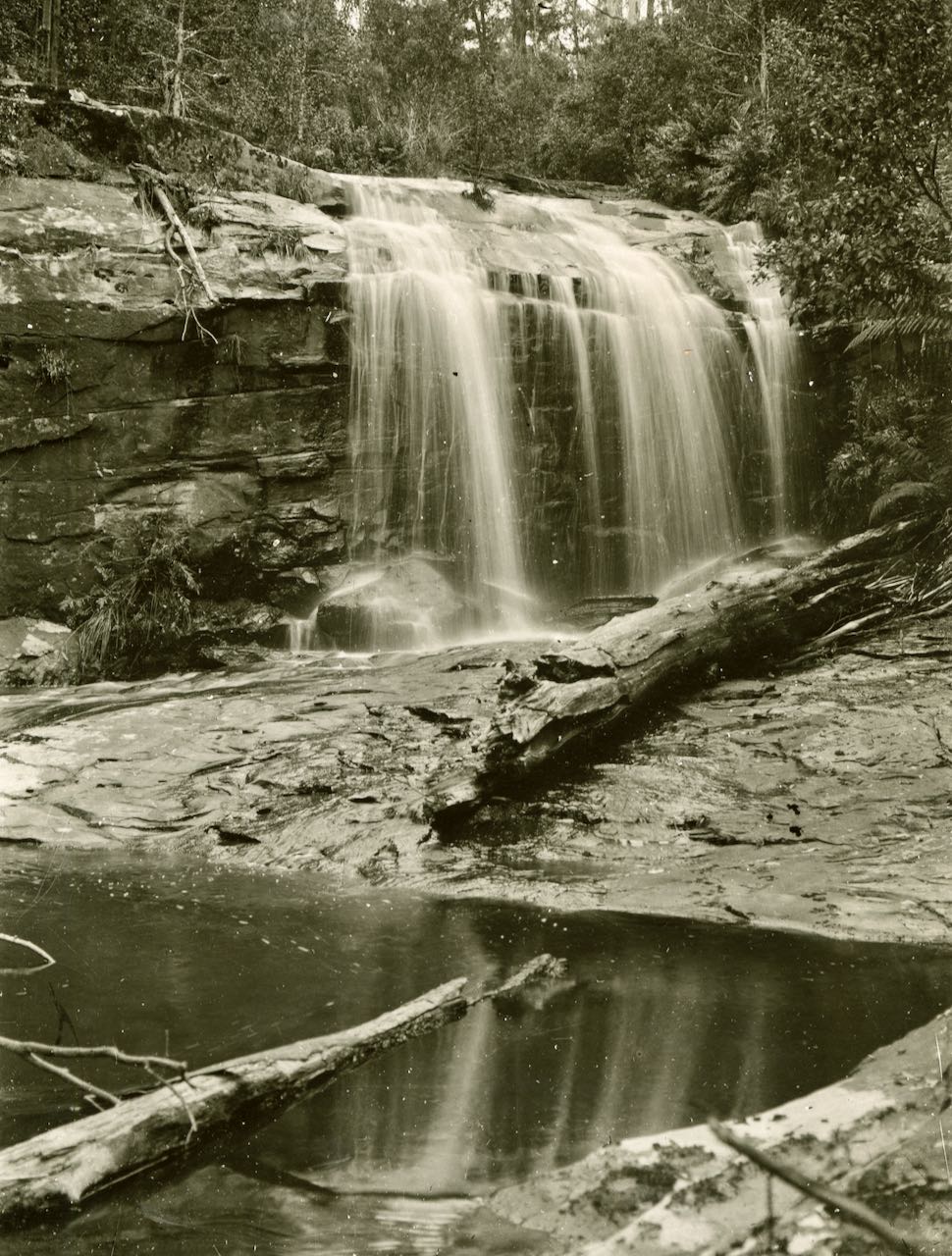
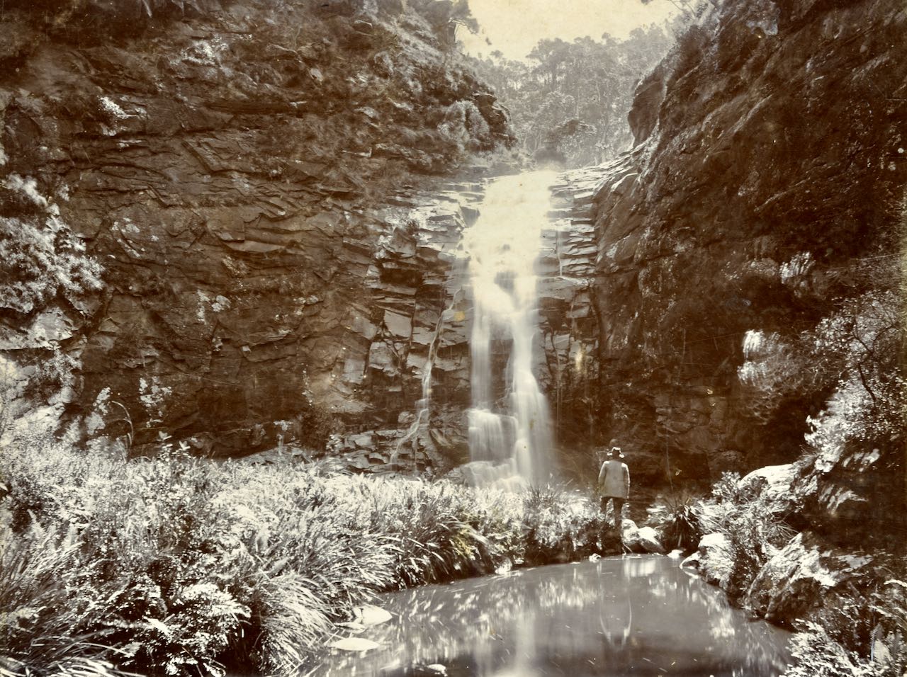
Phantom Falls, St George River
You can complete a round trip walk of about 90 minutes from the Allenvale Mill carpark to visit the Phantom falls. It was discovered in the 1880s. Apparently for sometime people couldn’t find the falls again, and thought it was a phantom. When it was found again it was called The Phantom Falls.
Phantom Falls. (LHS photon B635)
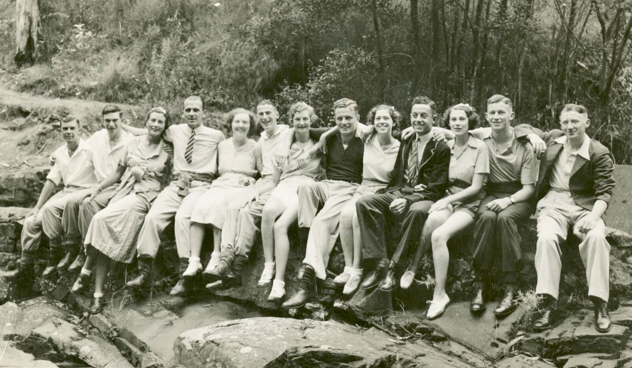
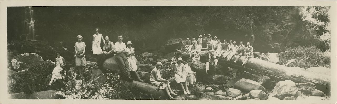
March 1936, Group near Phantom Falls.
Margaret Falls, St George River
1890, Margaret Falls, Caire N.J. State Library Victoria
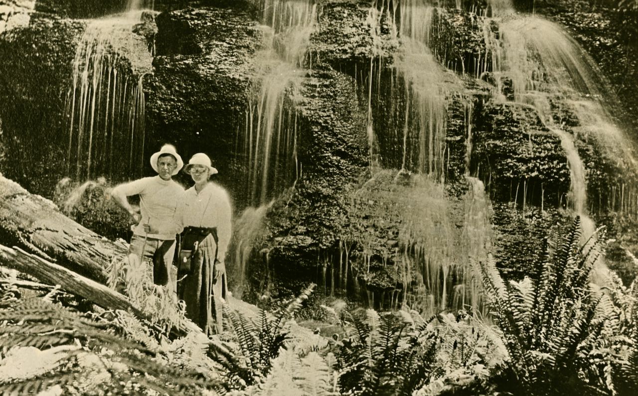
Melba Falls, St George River
Melba Falls is named after Australia’s famous opera singer Dame Nellie Melba.
-
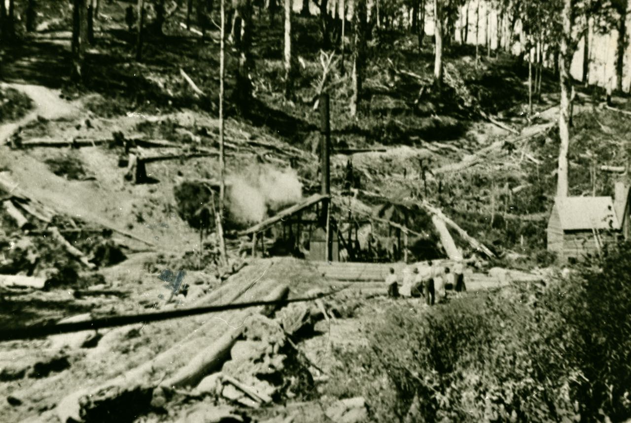
- 1921, Log hauling near St George River, between Margaret and Melba Falls. (LHS photo 2403)
-
- The pool by the Melba Falls. (LHS photo 1647, THE ROSE SERIES. P. 790)
-
- 1916, Melba Falls. (LHS photo B688)
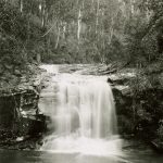
Stony Creek
Located close to the headwaters of Stony Creek, Stony Falls were historically more popular in the past. The falls were mentioned in newspapers from the 1880s. In past times, Lorne visitors would take long bush walks to enjoy the beautiful scenery of the forest from the Great Ocean Road up Stony Creek, past the Lily Pond, then along McClelland’s Track to the Stony Creek Falls, unfortunately this track is now gone.

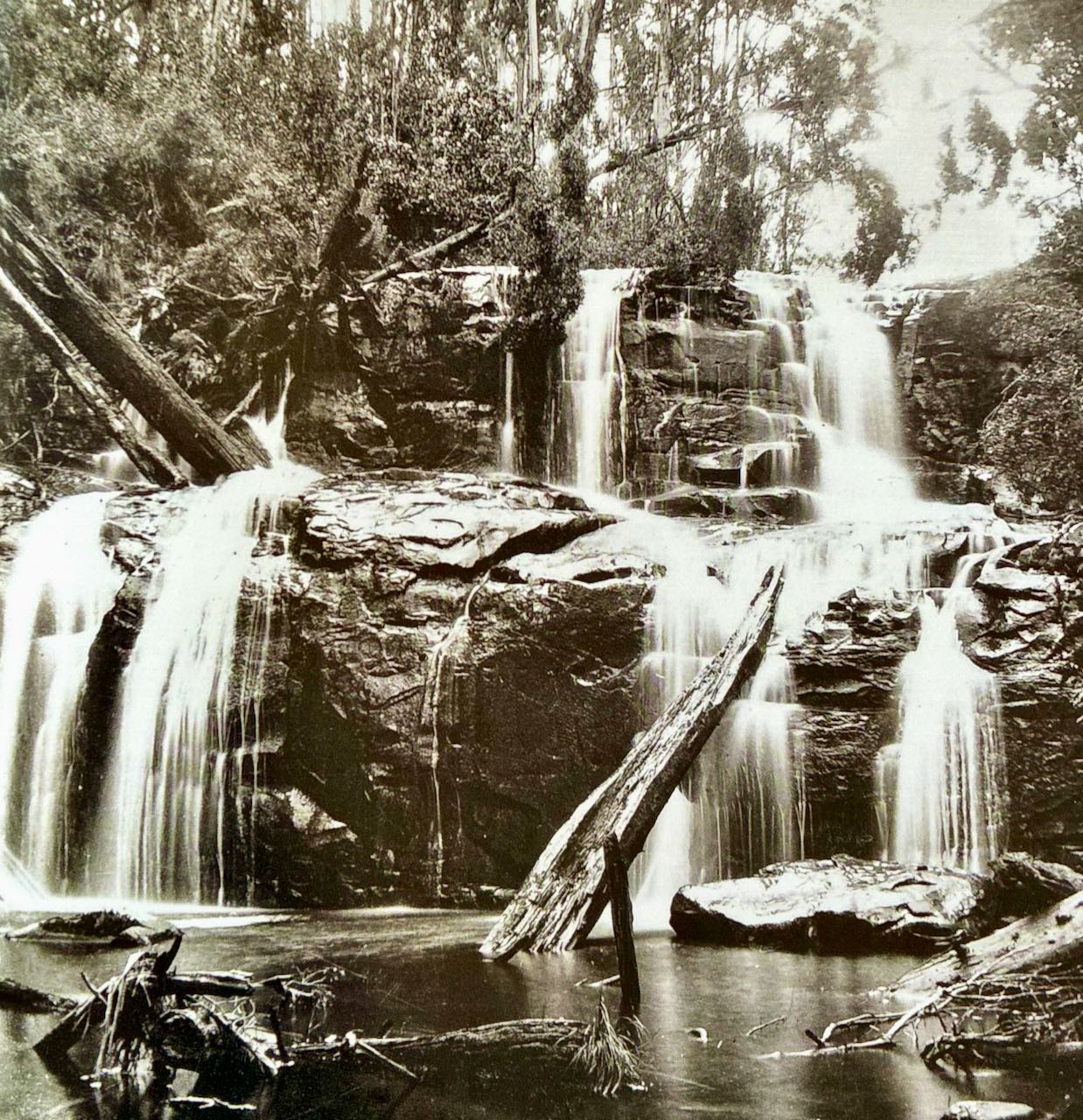
Stony Creek Waterfall
Walks Pamphlet
There are many walks around Lorne, with modern maps and information available at Lorne’s Information Centre.
Lorne-Walks-and-waterfalls-2018-LR
Sources:
- Lorne Historical Society
- lovelorne.com.au
- Waterfalls of the Otway Ranges by Anthony Car
- Placenames Australia September 2021, editor David Blair
Walks
Lorne has a long history which can be explored on foot. Here is some information about heritage walks in Lorne. Lorne Historical Walks A self-guided walking tour highlighting the historical features along Mountjoy Parade in Lorne. Read more The Lorne Heritage Walk This self-guided walk highlights the historical features along Mountjoy Parade, one of Lorne’s...Read more