Lorne Victoria Australia
Lorne Foreshore has always been very important to Lorne. From the earliest days of Europe settlement boats were landed on the foreshore and fish were caught with nets. It was the site of the original Sea Baths as well as being used for the first aeroplanes to land. Recreational activities including cricket, football, tennis, bowls and trampolines have had a place near the foreshore on a space called The Flat.
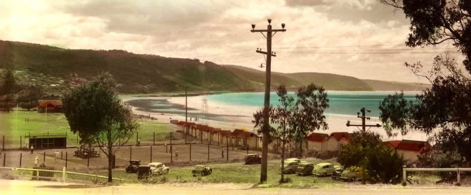
1950s, pre Lawn Bowls green.
1925, Mountjoy Parade Lorne. Photo by William Leslie & part of the SLV’s Collection.

Louttit Bay. W. Anderson photo from Melbourne Museum collection

Early Lorne Photo (LHS photo B024)

-

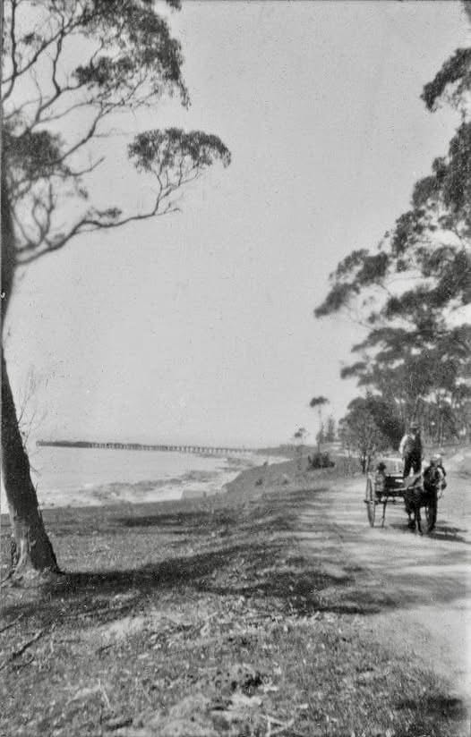
- c1910 Lorne foreshore to Erskine House (LHS photo 3158)

-

- Leatherback turtle. Albert Hollingsworth 4th from right. Johan’s son and J. Romaro on left. (LHS 5822)

-

- Lorne corner of Mountjoy Parade and Grove Road (LHS photo 4607)

-

- Lorne Foreshore (LHS photo B467)

-

- Lorne Foreshore (LHS photo 8685)

-

- 1919, first plane in Lorne


-

- 1936, Lorne foreshore (LHS photo 9039)

-

- c1950, Lorne foreshore (LHS photo 2712)

-

- THE ROSE SERIES P.13249, Lorne foreshore (LHS photo 1666)

The Sand
In 1958 the public works department decided to extend the rock wall beyond its present location to where Grove Road meets the beach, near HAH today. Heavy concrete foundations were first constructed as its base. The beautiful wall was built, and it looked wonderful. Heavy sea soon undermined the wall and smashed it to pieces.
-

- Dodgems, Lorne foreshore, local boys Billie Fletcher and Jeff Driscoll (LHS photo 9728)

-

- Storm against sea wall

-

- Damage to seawall, 1958-59 (LHS photo 080L)

Heavy seas saw three metres in depth of sand washed away from the surface of the beach and 1.5 metre sand dunes disappeared overnight. Bert Driscoll’s Dodgem Car buildings, at the end of Grove Road, were also undermined when all the sand was washed away and were left half dangling.
Hector Stribling, who owned Erskine House at this time was very concerned that the popular guesthouse could be in serious trouble. He contacted those he knew in Ports and Harbours and they arranged for quarryman Bill Roach to create a sandstone groin on the southern side of the beach to build up sand. This proved to be most effective and remains to this present day.
-

- Lorne 1967

-

- Lorne beach showing rock groin and timber groins.

-

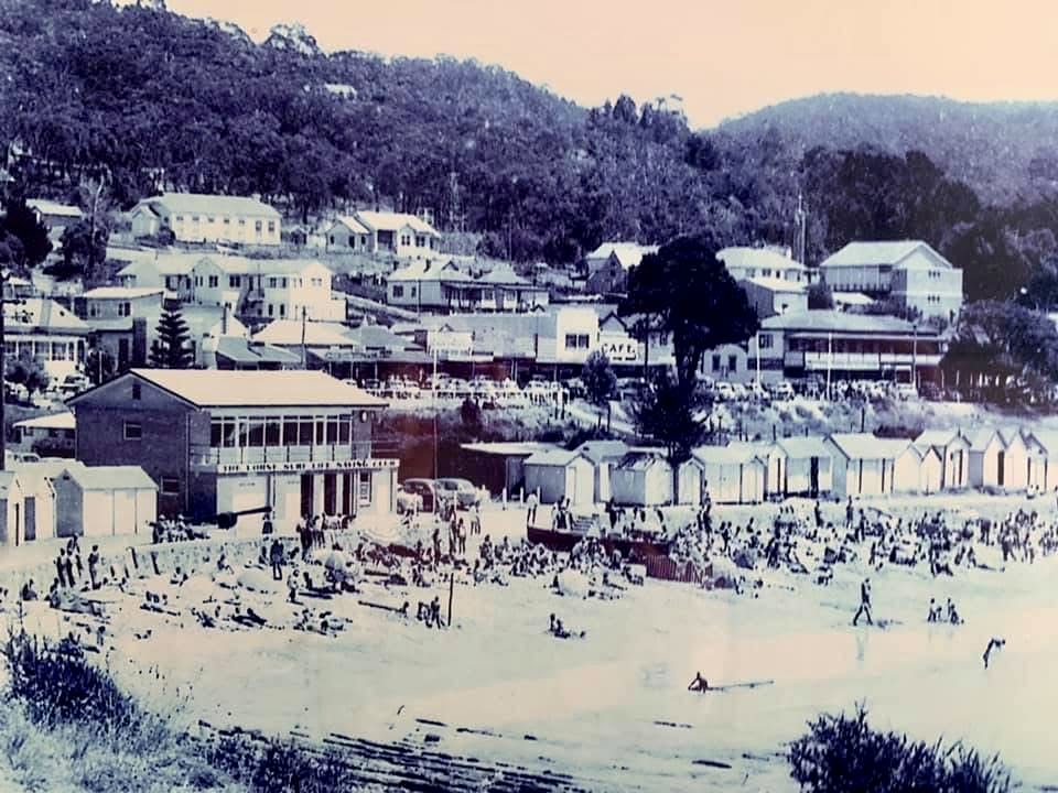
- 1963, Lorne Foreshore

-

- 1986, Foreshore carpark (LHS photo B695)

-

- Beach Bites

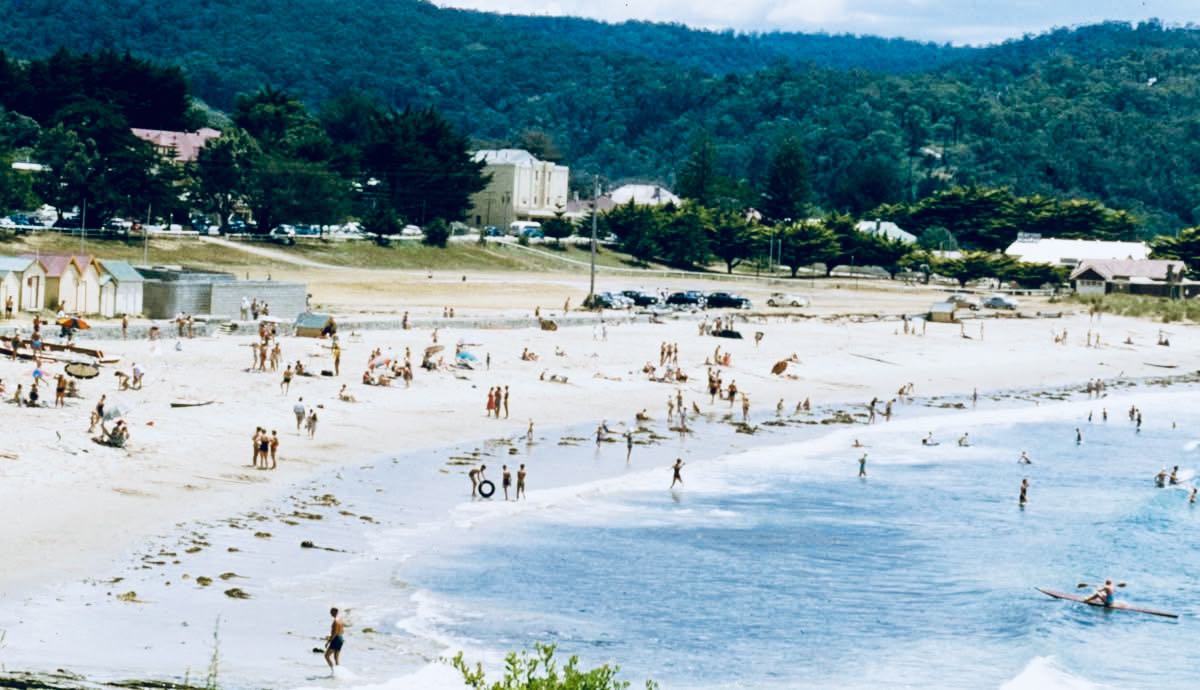
Lorne in January 1954. Photographer: Lexie Luly, State Library of Victoria
1959, Lorne Foreshore
On the main beach wooden groins were built all along the sand at regular intervals. These had similar results as the rock groin in trapping the movement of sand. Over time they were completely covered over. In 2005, the wooden groins on the main beach were removed to create a safe running track for the World Surfing Life Saving Championship.

Lorne aerial view, note rock groin in front of Mantra, c2015
Where the beach sand meets the grassy soil, they employed a different method of restoring the beach. A long sloping sand ramp was formed from the beach to the grassy bank. This slope was covered with a heavy-duty plastic blanket. On top of this large flat stone slabs were placed. When the waves slid up this sloping ramp, they deposited sand amongst the flat stones, eventually covering the whole surface.
South Lorne
Lorne foreshore, and also visible at Teddy’s Lookout, the Otway sandstone rocks (arkose) show many interesting features including concretions and folds. At Shelly Beach (Vera Lynn), particularly at low tide, the folds in the sandstone are prominent and have be named on Google Maps as Edwards Folds, a geographic feature.

Edwards Fold Geological Feature, Shelley Beach (Vera Lynn)
As well as the folds, erosion of the sandstone over millions of years has produced holes and spherical rock protuberances. The rocks formed about 100 million years ago, while Australia was still joined to Antarctica. It was a warm period with no polar ice caps.
The rocks were buried and became saturated with water containing various chemicals including calcium carbonate. These solutions precipitated around fractures and sometimes reactive mineral grains that developed over time depositing layer upon layer to give ball shapes, called concretions. Some concretions are harder or softer than surrounding rock, so when exposed to erosion a hollow may develop or harder concretions may result in protruding ball shapes, or ridges along the cracks.
Carbonate minerals are particularly susceptible to being dissolved in rainwater. This means concretions gradually become hollowed out as the calcite cement is dissolved away. Some concretions include iron carbonate called siderite, which breaks down to iron oxides when exposed at the surface, leaving a rusty appearance on the rocks.
-

- Concretions on Lorne beach, photo 2025

-

- Rock ridges Lorne beach, photo 2025

-

- Concretions on Lorne Beach. (Photo 2025)

Potholes in rocks maybe visible at the Rapids on the Erskine River. True potholes are formed by the tumbling of hard core-stones in strong currents that gradually carve out rounded holes in the rock.
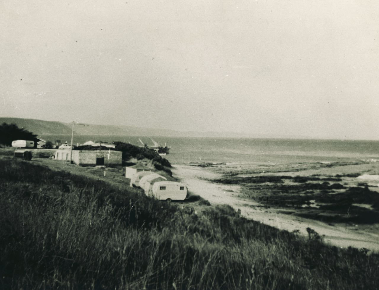
1957, Point Grey caming ground. (LHS photo 1752)

Beach Shelter built by Hector Stribling. Blown down, foundations remain. (LHS photo B523)
Sources:
- Greetings From Lorne by Leigh Hammerton
- The Potholes at Teddy’s Lookout, by Andrew Gleadow
- Doug Stirling article on Sand from Lorne Independent November 2024